

This website uses cookies so that we can provide you with the best user experience possible. Cookie information is stored in your browser and performs functions such as recognising you when you return to our website and helping our team to understand which sections of the website you find most interesting and useful.
Find Us
Getting Here By Public Transport
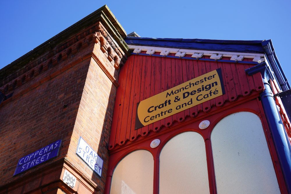
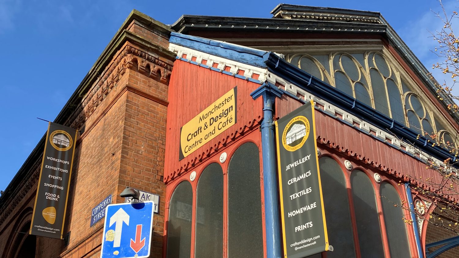
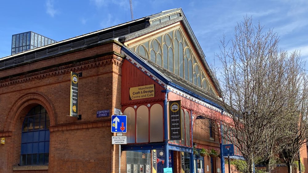
We are situated in the heart of the Northern Quarter on Oak Street. The nearest Metrolink stations are Shudehill (a 4-minute walk) or Market Street (a 5-minute walk). The nearest train stations are Manchester Piccadilly Train Station (a 12-minute walk) and Victoria Train Station (a 9-minute walk). Piccadilly Gardens Bus Station is a 6-minute walk. For more information on public transport, check out Transport for Greater Manchester.
Our Cafe
Fred's Cafe
Fred’s is exactly what you’ve been waiting for – an English-style café with a northern accent and appetite.
Inspired by classic British staples and high-quality ingredients, we take simple, locally sourced, seasonal things and turn them into lunch things, snack things, baked things, sweet things, comfort things and surprisingly chef-y things, along with all the cups, mugs, pints & bottles of things you’d expect from a café that isn’t mucking about.
It’s an ideal spot to relax whilst browsing our two-floor maker studios.
Open Tuesday – Saturday, 10am – 5.30pm and every 2nd Sunday of the month, 11am – 5pm.

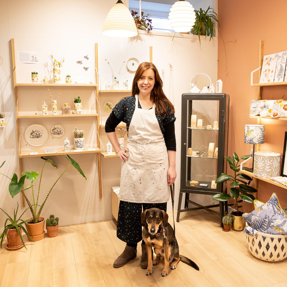
Dog Policy
All dogs are welcome in the Centre - bring your furry friends along with you!
Some of our maker’s work is fragile, so we have a simple green and red sticker for studios. If you see a red sticker on a maker’s door, please do not let your dog into the studio.
Our makers are a friendly bunch, so if you aren’t sure please ask!
Group Visits
Visit, experience and explore with a group visit to MCDC
If you’re a school, college or group, you’ll find Manchester Craft & Design Centre an inspiring destination to learn about Craft and the history of the Northern Quarter. Your group can see a wide variety of craftspeople and designers at work in their combined studio and retail spaces.
A visit to the Centre is ideal for students studying at GCSE level upwards, as well as adult specialist interest groups. So, whether you’re at a local college or University, part of a U3A or WI group, or just a group of friends who’d like to find out more – we’d love to welcome you to MCDC.
We’re very happy to work with you to create a bespoke package for your group’s needs. Please download the brochure below and email [email protected] for more information and to book.
Group visit contact form
Access
We are committed to improving access for our customers and we aim to ensure that all customers with access requirements have an enjoyable experience.
Our two-storey Victorian building currently has no lift, making first floor access difficult for visitors with mobility restrictions. We are committed to improve access in the future by raising funds to refurbish the building, making it fully accessible to everyone.
Our management team and resident makers are happy to assist your visit by bringing products downstairs, audio-description, or helping carry buggies or prams upstairs.
Both our entrances are step free. On the ground floor we have an accessible toilet with baby change facilities. Disabled parking bays for Blue Badge holders are available on Brick Street & Back Thomas Street and we welcome guide dogs and hearing dogs. Large print interpretation texts for our exhibitions are available on request.
Please contact the management office on 0161 832 4274 or email [email protected] to discuss your requirements.